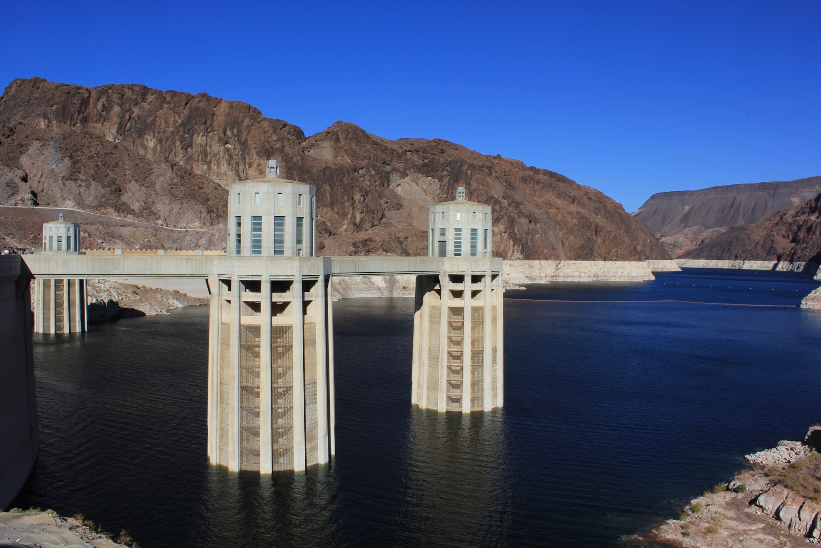
Lake Mead National Recreation Area.
Wow! It's been a while since I last posted. We've spent the last few weeks working at our volunteer job driving and checking out the back country roads. We've also managed to do a few hikes within the park with Paul and Paula and some other volunteers Laura and Sasha. One of the prettiest hikes was a 7+ mile hike in White Rock Canyon.
 |
| On a hike with Paul, Paula, Sasha, Joyce, Laura and me. |


One of our work days took us back to Christmas Tree Pass. As you may recall we had been out there in the middle of a snow storm that had forced us to turn back. The drive over Christmas Tree Pass was beautiful as we entered Lake Mead N.R.A. from the BLM.


We did a short hike off North Shore Drive in Lake Mead N.R.A that gave us these beautiful views of the rugged red rock terrain. This part of the park is near the Nevada State Park, Valley of Fire.


Time has flown by! Christmas has come and gone and we look forward to the New Year. During the Christmas holiday, we left our fifth wheel in the volunteer park and drove to Mesa, Az. to visit with my Father and Karen. It was a nice drive in the truck of about 320 miles each way down highway 93 passing through the Joshua Forest. We had a very nice stay and enjoyed our time in Mesa. We also enjoyed a family get together and tamales at my cousin's home.
 |
| Christmas Day party at the home of Cousin Terry and Rick |
Our supervisor, Dara has been very generous with allowing us to have time off for the holidays. It appears that most of the staff is gone for the holidays.
Las Vegas is expected to put on a spectacular fireworks display. So for New Year's Eve, Joyce and I plan to find a good overlook of the city skyline and watch the fireworks.
We hope that all of you have a safe holiday and a Happy Prosperous New Year!